The USDA's Risk Management Agency’s (RMA) Pasture, Rangeland, Forage (PRF) Insurance Program is designed to provide insurance coverage on your pasture, rangeland, or forage acres. This innovative pilot program is based on precipitation using the Rainfall Index. This program is designed to give you the ability to buy insurance protection for losses of forage produced for grazing or harvested for hay, which result in increased costs for feed, destocking, depopulating, or other actions.
Why now?
The U.S. government subsidizes 51%-59% of the premium.
Premiums are not due until October 1 of the crop year.
No claim forms.
No adjusters needed. Claims are paid. automatically based on data from NOAA CPC.

How this program works
When you sign up for coverage under the PRF program, you are protected against losses due to lack of rain. Payment for losses are determined based on the Rainfall Index, which is a comprehensive dataset of precipitation amounts throughout the country. Because indemnity is not calculated based on actual crop production, claims may be automatically processed without the need for adjusters.
Participation in the PRF program is straightforward. With the help of a PRF specialist, you will choose the grids in which your eligible land resides. You then choose two or more separate index intervals during which precipitation is important to your operation. For each grid you have elected to cover, actual precipitation amounts are compared to the trigger grid indices. If any of the grids had rainfall less than the trigger index, you may receive an indemnity.
Availability
PRF is available in the 48 contiguous states with the exception of a few grids that cross international borders.
At CKP Insurance, we are dedicated to providing you with insight, information and alternative-risk solutions that are custom-fitted to your business and personal needs. We will help tailor a plan for you using specific data in your region; you can even select options acre by acre. Our trained professionals will walk you through a range of options using risk-assessment tools that will help you manage your risks when there is a drought in your area.
Our promise
We will conduct a one-on-one personal consultation to go over your specific ranch or farming operation needs.
We will offer opportunities to help you maximize your benefits.
We will help keep you informed throughout the year as to how the program is performing for you with monthly/annual statements.

TOOLS
You will be asked to make several choices when insuring your grazing or hay production. This is where a PRF specialist makes all the difference in the world.
Our one-on-one consultation process will take your through the tools that the RMA encourages you to use and provides on their website.
- Grid ID Locator Map
- Historical Indices
- Decision Support Tool
Your PRF specialist is trained to help you understand and analyze the complicated data in relatable terms so you can make the most informed decision for your business.
PRF Insurance Explained
Tribal Experience
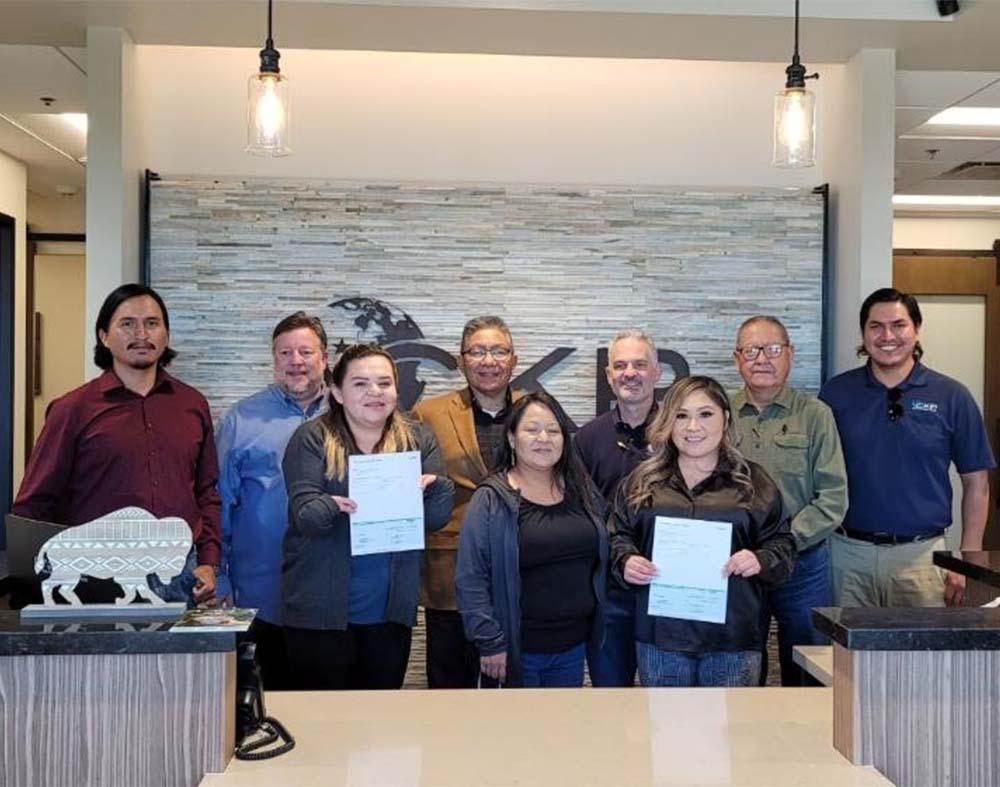
We are the largest PRF policy writer for tribal nations. CKP has experience working with tribal governments assisting with legislation and agricultural infrastructure. CKP has helped tribes gain funds from the United States Department of Agriculture Risk Management Agency through the PRF program. We have worked extensively with The Navajo Nation to assist in setting up a process to distribute funds to tribal members (Farmers, Ranchers, Etc.) Our team is knowledgeable in mapping tribal lands and work collaboratively with the tribes’ Department of Natural Resources and/or Department of Agriculture along with the Farm Service Agency (FSA) and the Bureau of Indian Affairs (BIA) Offices.

Definitions
Rainfall Index – Rainfall data collected from the NOAA CPC are organized by grid to form the Rainfall Index.
Vegetation Index – Satellites use high-resolution instruments to detect plant life on the Earth’s surface. These data are then collated into grids. For the purposes of the PRF program, this method has been phased out in favor of the Rainfall Index.
Grid – A set of ¼° latitude × ¼° longitude regions used by the Rainfall Index as the unit area. Near the equator, this is about 17 mi².
NOAA Climate Prediction Center (CPC) – Government organization responsible for gathering, recording, publishing and predicting climate around the country and around the world.
Index Interval – Two-month period of time during the crop year. These intervals are used to determine your premium payment amount and the amount of indemnity payment disbursed to you.
Trigger Grid Index – This is the predicted rainfall amount for a given grid during a particular index interval.
Addresses
Boca Raton Office Address:
21845 Powerline Road Suite 205
Boca Raton, FL 33433
Scottsdale Office Address:
9237 E Via de Ventura Suite 120
Scottsdale, AZ 85258
Fax
855-327-4839


